Imagine an international aid worker helping to bring survivors into a refugee camp of displaced people, already swelling beyond the limits of its resources. Along the dangerous route, the worker must know where the hazards lie. When arriving at camp, the worker needs to quickly locate the medical facilities for some, food for others. The answers to these challenges could be as simple as the right map.
John Kostelnick hopes to provide support to these mapping tasks that have become commonplace with the recent rise of digital mapping in times of crisis. An associate professor of geography, Kostelnick and his team at Illinois State University are working to improve map symbols that can be used by humanitarian relief organizations worldwide to communicate critical information during natural disasters and human conflicts.
Currently, groups such as the International Red Cross must try to communicate a variety of information when they approach a crisis situation. The time required to organize information and present it clearly on maps is often time the workers do not have. “Most of the time, aid workers are wearing 15 hats at once during a crisis,” said Kostelnick. “They may not have map symbols available to communicate the necessary information on their maps. They need additional resources to make their job easier.”
For the first phase of their project, the ISU team is conducting a survey to identify current mapping challenges faced by humanitarian relief organizations. The team is gaining international support for their effort, with input from organizations such as the U.S. Department of State, United Nations offices, USAID and the International Red Cross. “We were pleased to see how many national and international organizations are responding to the initial survey,” said Kostelnick.
Ultimately, the work will go beyond identifying challenges, and will develop practical solutions to these challenges. “We hope to create a best practices guide for relief organizations to develop effective map symbols to communicate the information that is coming their way. There is so much geographic information available today from satellites, from social media, and many other sources which is a good thing. However, we need better ways to visualize all this information on maps for effective crisis response activities,” said Kostelnick. “It is vital for those who respond to crisis situations to have a clear idea of what they are facing.”
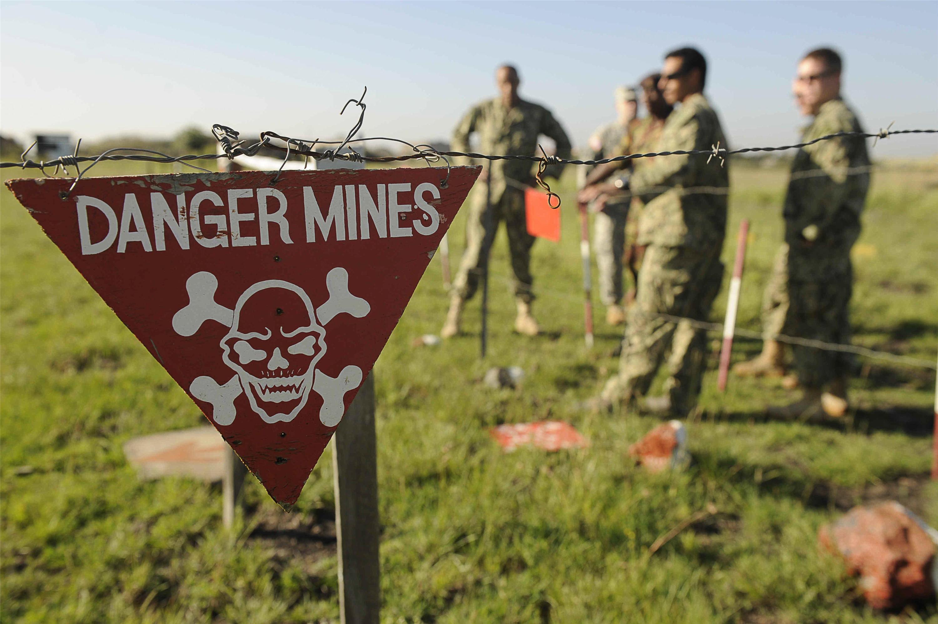
Kostelnick began work on humanitarian mapping projects in graduate school when he worked with the Geneva International Centre for Humanitarian Demining to develop map symbols to symbolize landmine clearance activities. “Our group supported those who created the maps to remove the landmines,” he said, noting they needed to look across cultures to create a standardized set of map symbols. “Not every culture sees red as danger. We had to come up with symbols that would work for everyone.” The team developed symbols to display the demining status of areas mirroring the signage used around many mined areas. “The symbols have to be versatile in order to be effective. This literally can be a life or death situation.”
Kostelnick hopes that his current humanitarian mapping project will inspire ISU students to enter the field of crisis mapping just as the demining project left an imprint on him. One student who is working with Kostelnick recently completed an internship in humanitarian mapping for Catholic Relief Services in Baltimore.
Kostelnick’s other recent work has dealt with emergency management mapping in Illinois, where another project team developed a web mapping system to assist the Illinois Emergency Management Agency and local emergency management agencies with disaster response mapping. The web mapping system was developed for disasters such as the recent devastating tornado in Washington, Ill. “It was amazing to watch the tornado in real time, and to look at the destruction it left behind through satellite imagery available in the web mapping system.” Up-to-the-minute information is vital for crisis teams that need to find the best ways into a devastated town or area. “When it to comes to flooding, how do you find sand and gravel providers? Where can you find the closest fuel contractors? These are questions that need to be answered quickly,” said Kostelnick, “and we can answer these questions with maps.”
Mobile mapping systems like the one Kostelnick helped design for IEMA will be key to the new wave of humanitarian mapping. “Getting help to people in times of disaster or crisis is the ultimate goal,” he said, “whether that’s responding to tornados in our local communities, or an earthquake on the other side of the world.”
