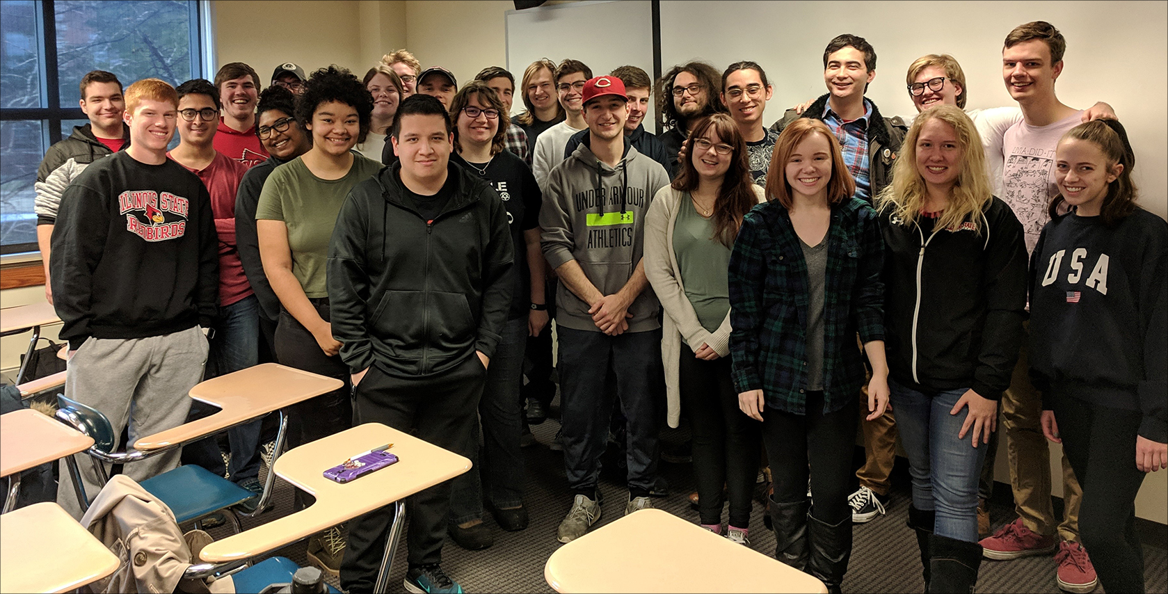
The phrase “geographic information system” (GIS) generally makes students think of…well…maps. Yet the computer system that captures and analyzes data also helps transform layers of information into an understandable, visual pattern. For Professor of History Kathryn Jasper, GIS enabled her students to seize a moment in time.
Kathryn Jasper
Just as history is more than a series of dates, GIS is more than points on a map. “The numbers, the landscape, the movement of people—it all tells a story. I wanted students to have the experience of seeing those stories,” said Jasper, who taught a history course on digital methods and historical research in the fall. Using GIS in her own research, Jasper studies the shifting of property for 11th century monks in Italy. Eager to open history students’ eyes to the potential of GIS, she worked to find engaging topics. “It’s funny, but not many students know everything about the 11th century,” she joked. “But they have heard of Gettysburg and the Titanic.”

John Kostelnick
With the help of a College of Arts and Sciences Interdisciplinary Grant, Jasper teamed up with Professor of Geography John Kostelnick to get students the basics of GIS. “I like to say I made a cameo appearance in this class,” he said. Kostelnick and his geography teaching assistants led small workshops for the class to introduce GIS, which can use everything from landscape patterns and photography to digital data and cartography to build a complex picture. “In geography, we teach whole undergraduate courses in GIS, but these students were able to pick up an amazing amount,” he said.
Students delved into historical moments like the Battle of Gettysburg. “They loved creating patterns from who died, where they died in relation to troop movements, and the layout of the battleground,” said Jasper. Instead of specific projects, Jasper handed the students data, and had them create their own research presentations. “I gave them the tools, and repeated the phrase, ‘You are not working for me. We’re all working together. We are research partners,’” she said, adding she had students sign a standard research contract generally used between collaborators. “I want them to be ready for the kind of research they could be doing in the future.”

Brooklynn Scharwark
The course was an ideal fit for Brooklyn Scharwark, a senior from Winchester, Illinois, who is double-majoring in history and geography. “GIS is a tough subject, and the software needed to create and analyze the spatial data is like learning a new language in a way,” said Scharwark, who teamed up with another student to map Charlemagne’s movement across Gaul in the late 700s and early 800s. Scharwark gained experience using MAXQDA, a text mining software, and how to apply it to the infrastructure of the medieval emperor’s reign. “I had never experienced a crossover class like this before. It was set up in a perfect way that let [students] be more independent.”

Student Brooklyn Scharwark used GIS to create her poster on Charlemagne’s movements and infrastructure projects.
Kostelnick noted Jasper’s approach inspired the students to quickly develop problem-solving skills. “I call it the difference between a ‘cookbook’ and ‘training-wheeling’ learning,” he said. “As opposed to giving students a list of things to do and saying, ‘Do this,’ it was more like they were on the bike and we were holding the seat for a bit, ready to let go when the training wheels could come off.”
The CAS grant enabled Jasper to purchase a computer dedicated to GIS for history students. “And we were very appreciative of the fact that John let us use the computers in a geography lab,” she added. The two plan to continue their work together with future courses. “One of the great benefits of having John on this project was for students to see scholars from different disciplines working together to solve things.” Jasper said she hopes other areas take a similar path integrating GIS into courses. “It would be great to have a digital methods course in various disciplines,” she said.
Collaboration is a University core value, stated in Educate Connect Elevate: Illinois State—The Strategic Plan for Illinois’ First Public University 2018-2023.
